


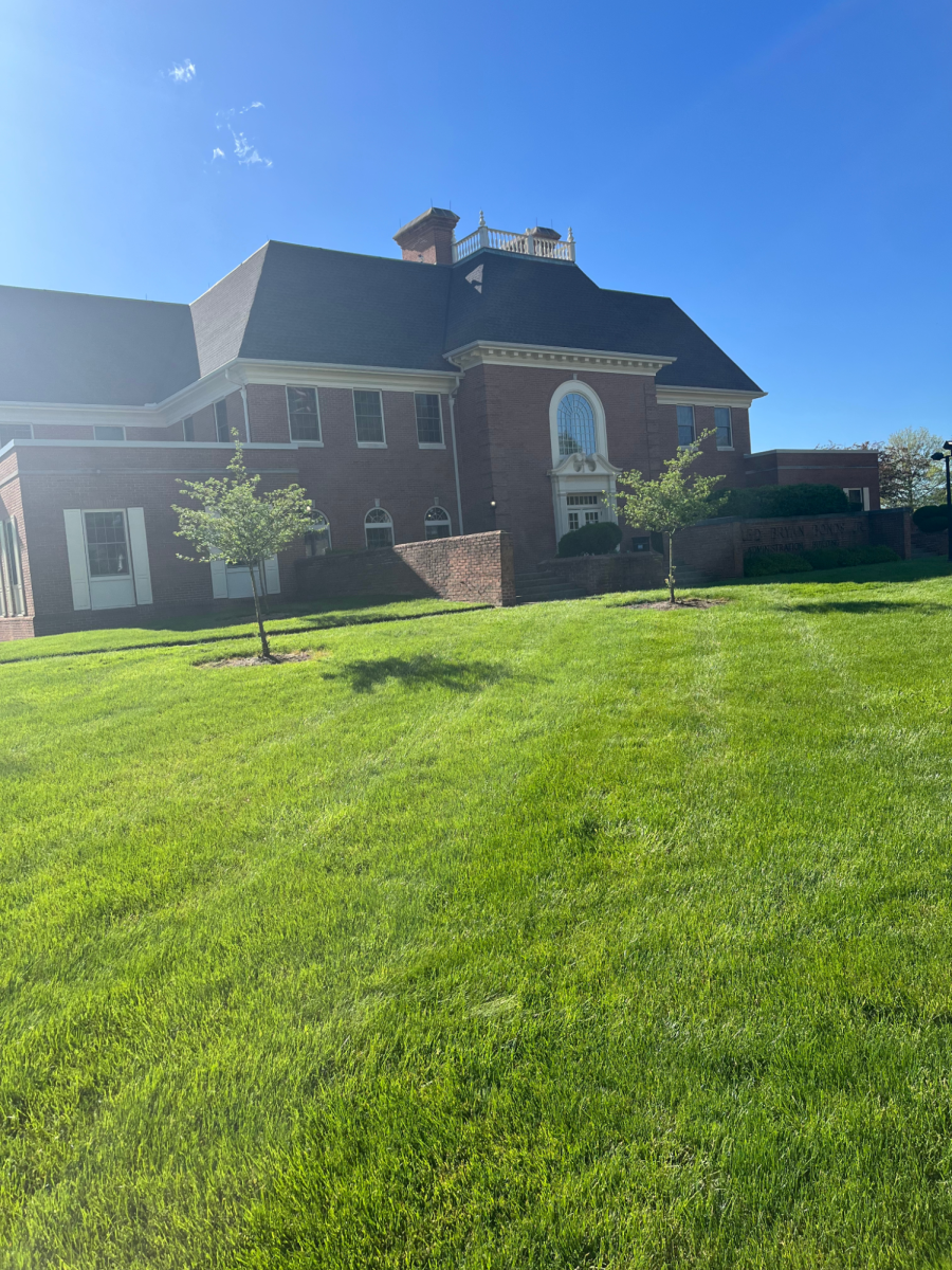


Mapping the Future
With the hiring of two new professors, Geographic Information System is mapping a path to Baldwin Wallace University’s future.
Esri, one of the leading GIS software companies, defines GIS as “a framework for gathering, managing, and analyzing data.”
GIS is putting data on maps. Society uses GIS in their everyday lives without even noticing, from the navigation systems on our phones to apps that help us decide where to eat and what to order for lunch.
In 2019, BW hired Dr. Annette Trierweiler, assistant professor of Biology and Geology, and Dr. Abolfazl Mollalo, assistant professor in Public Health and Prevention Science, to take the lead in the schools GIS classes.
Trierweiler has previously used GIS in a research project to investigate deforestation in Bangladesh.
“GIS is used in many different areas” Trierweiler said. “Even in modern agriculture GIS is used to improve fertilizer applications to lessen the effect of nutrient pollution.”
Trierweiler said that when it comes to GIS there is a lot of support from the school administration. There are plans for the school to have a lab specifically dedicated to GIS, said Trierweiler.
Mollalo has a background in GIS. Mollalo previously taught GIS at the University of Florida in undergraduate, graduate and PhD level classes.
Currently, Mollalo is teaching foundations in GIS. Next semester he will teach advanced GIS, a course designed to take a deeper look into 3D modelling and analysis.
“Most students are public health majors, but last semester one student was a national security major and this semester one student is a political science major.” Mollalo said. “Once you know the basics you can apply GIS to any area of study.”
Mollalo incorporates interactive learning into the courses he teaches. Once the labs are recorded, he uploads them to YouTube.
“It’s visually better than just reading the text” Mollalo said. “I upload the video tutorials to my YouTube channel and students bring their headphones and go through the tutorials in class. They work independently and if they have questions, they can ask them.”
Mollalo currently has one student that is a medical doctor working on her Master of Public Health. She is studying how GIS can be used to find areas of high concentration for different types of diseases, said Mollalo. Mollalo said this is done by using a technique called geocoding, which is converting the address of a patient to a location on an electronic map.
“Current medical studies only look at the medical data of the patient, they don’t look at locations,” Mollalo said. “They disregard the role of geography.”
Mollalo is working on grants to help expand GIS courses in Public Health at BW.
The Exponent is looking for financial contributions to support our staff and our newsroom in producing high-quality, well-reported and accurate journalism. Thank you for taking the time to consider supporting our student journalists.